How to get here
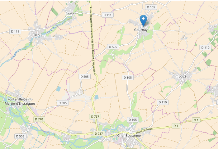
La Grange de Gournay is situated in the village of Gournay in the southern part of Deux Sevres in the Poitou-Charentes region.
By car:
Most GPS systems find our street, Chemin de la Baraquette, without a problem and typing La Grange de Gournay into Google Maps is even easier.
However, an easy way to reach us, is to enter the village and go to the church. With the church on your right-hand side, turn right up the road immediately next to the church. Our street is the second on the left, and has a sign of a little goat on it with an arrow pointing in the opposite direction.
Red and white signs are also at various points in the village to guide you to us.
Airports
There are a number of airports in the area – journey time by car shown in brackets: Poitiers (1hr), Angouleme (1hr 15mins), La Rochelle (1hr 20mins), Limoges (1hr 40mins), Tours (2hrs), Nantes (2hrs) and Bordeaux (2hrs).
Trains (TGV)
These link Paris and other major european cities and include - Niort (40mins), Poitiers (1hr), La Rochelle (1hr 20mins).
